
***UPDATE: (3:30 p.m.) CUMMING – A severe thunderstorm watch is in effect until 11 p.m. Tuesday for north and central Georgia, with the worst of the forecasted weather passing through before the watch expires.
---
12:30 p.m.
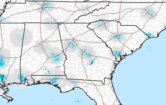
Temperatures reaching 80 degrees Tuesday on the second day of spring may not foreshadow hazardous weather, but the National Weather Service is predicting Forsyth County is in for a soaked night.
According to a hazardous weather outlook for Cumming and much or north and central Georgia, scattered to severe thunderstorms are likely to cross the area this afternoon through evening.
“A few of these storms could produce large hail and damaging winds,” the outlook said.
The worst is predicted to hit before 2 a.m.
Wednesday through Monday, a chance of thunderstorms may occur, with a high of 70 on Wednesday that is expected to drop to a high of 53 on Thursday before creeping back into the mid and upper 70s on Friday and Saturday.